
Ingeomin Press.- As part of the action plan for urban reorganization and safe infrastructure in the state, the National Institute of Geology and Mining (INGEOMIN) is advancing in a new phase of interinstitutional technical evaluations together with the National Institute of Urban Lands (INTU), extending the geoscientific deployment to the sectors of Guaracarumbo and Mare Abajo.
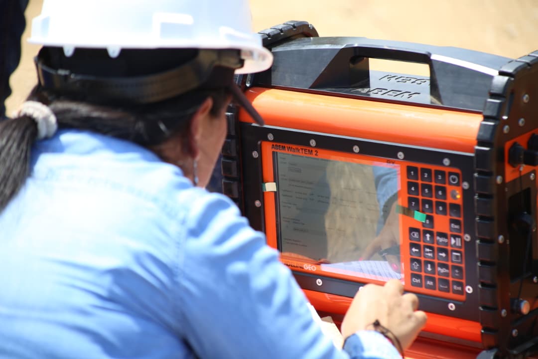
Following the directives of the Minister of the People’s Power for Ecological Mining Development and Basic Industries, Héctor Silva, the technical teams reinforced the diagnosis of the habitability of the land through the integration of state-of-the-art electromagnetic prospecting, in addition to the geophysical tests applied to geotechnics that had been carried out. For this phase, the specialists incorporated the time-domain electromagnetic method with the high-tech WalkTEM equipment.
This tool allows us to characterize subsoil structures in greater depth, detect variations in the resistivity of tectonic layers and identify horizons with the presence of moisture or contrast of materials without the need for invasive interventions.
The combined use of these geophysical methodologies provides an accurate three-dimensional x-ray of the mechanical response and load-bearing capacity of the soils in Guaracarumbo and Mare Abajo, fundamental technical inputs to guarantee safe and resilient construction projects.
These actions are developed in the context of the sum of efforts for decision-making of the Venezuela Renace Plan, promoted by President Delcy Rodríguez, reaffirming the commitment of the Venezuelan State to comprehensive risk management and responsible urban development for the protection of the people of Guaireño.